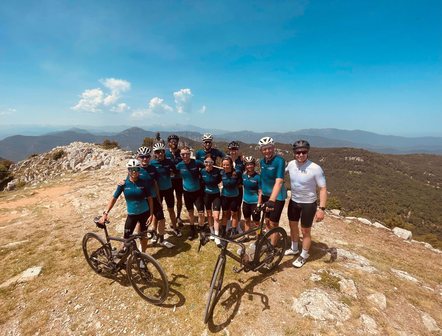
In May 2022, a force of Forge London CC landed in Spain for a four-day trip to beautiful Girona and helped by glorious weather and insightful local knowledge, we knitted together a brilliant set of routes and rides – we hope you find them useful. The days build up nicely too, getting you acclimatised to the gradients, the terrain, the immaculate road surfaces and the length of the climbs.
Day 1 Shakedown ride – Els Angels of the north
After getting our bikes unboxed and hired, we went for an early evening shakedown ride for this lovely route around Girona. And it’s straight into the action with the 10km Els Angels climb starting less than 5km outside of Girona. Traffic magically disappears too. There’s nothing too steep – with a few flats and even downhills in the middle section. Climbing to the summit, there’s an extra 200m off to the left for the best views before a sweeping descent on a great road. A few kms after the bottom of the descent, it’s worth a stop in the beautiful mediaeval village of Monells, with its stone archways and narrow streets. The village square has a fresh water tap and two very nice cafés.
Onwards through the rolling countryside before the 5km Santa Pellaia climb, with a more consistent gradient than Els Angels, it never goes much above the 4.2% average gradient.
A gliding descent brings us rolling back towards Girona along open country lanes. We’ve bedded in nicely now.
Girona – Els Angels – Santa Pellaia- Girona
Distance: 61km / 38 miles
Elevation: 905m / 2,970 ft
Day 2 Costa Brava – A coast to boast about
Sant Grau Climb: 6km @ 5.5% average with extended sections at 11%
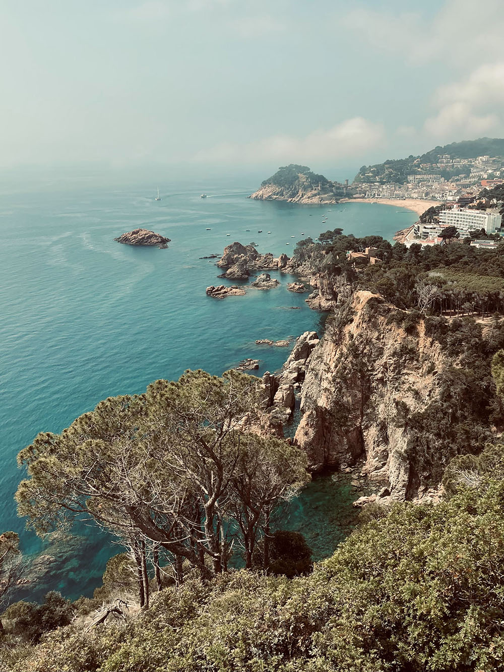
Three route options here but the common thing is to take in two of Girona’s centrepieces, the climb of Saint Grau and the magnificent Costa Brava coast road.
Heading out of Girona for 30km to Llagostera, we come to the base of Sant Grau, the Gradient slowly builds over 10km with ramps of up to 11%. Although the summit is not worth lingering on, as soon as we tipped over onto the downhill, the coastline vistas opened up on the fast and technical slopes. A real joy. Then it’s decision time. Our F3 and F4 groups took a right to go to the seaside resort of Tossa de Mar, slinking along the beachfront, we even climbed the cobbled streets of the castle for a great view over the bay before climbing back up onto the quite sublime coast road. With very little traffic, the road hugs the jagged clifftops gliding in and out of the bays, up and down the natural contours of the coast with tricky descents and punchy ramps. It’s all worth it for the awesome views. Our F2s took the left at the bottom of Sant Grau along the coast road for a slighter shorter way into Sant Feliu. A family town, it’s not too touristy and along the seafront there’s some nice spots for a drink and something to eat. There’s options now for the return leg. Along the lumpy la Bisabal road or head back to Llagostera and join the tightly packed gravel track along the Carrilet (apparently a disused rail line) back to Girona for a much flatter option. Building nicely now.
Girona – Llagostera – Sant Grau – Sant Feliu – Carrilet – Girona 98km with 1100m vertical
Distance: 98km / 60 miles
Elevation: 1,100m / 3,590 ft
Girona – Llagostera – Sant Grau – Sant Feliu – La Bisbal – Girona 115km with 1400m vertical
Distance: 115km / 71 miles
Elevation: 1,400m / 4,553 ft
As above plus out and back to Tossa de Mar 135km with 1800m vertical
Distance: 135km / 83 miles
Elevation: 1,800m / 5,799 ft
Day 3 – Rocacobra – you simply have to
Rocacorba Climb: 10km @ 7% average with extended sections at 12%
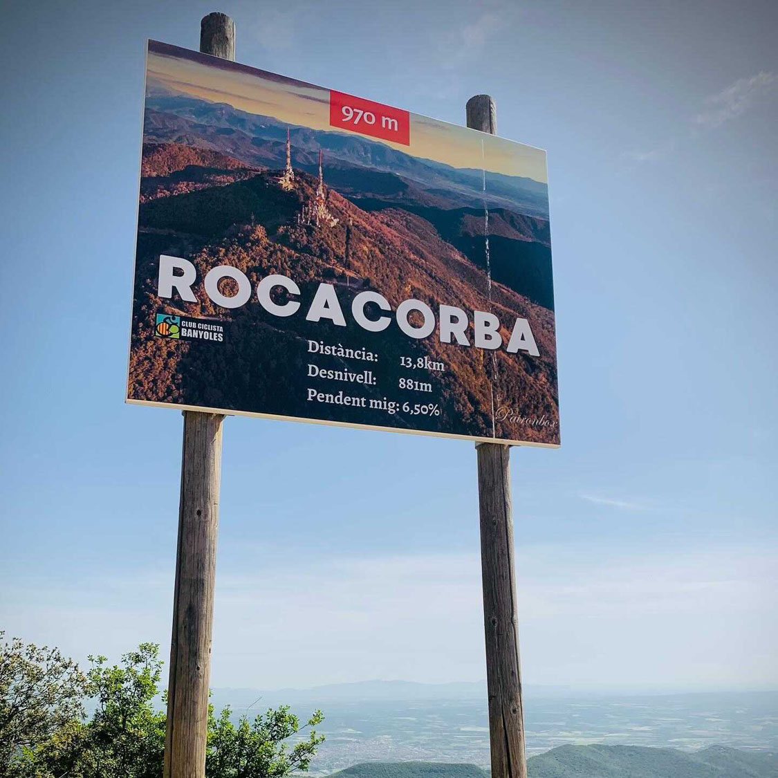
You’ve come this far, you’ve got to do Rocacorba, right? This iconic climb is a must on the Girona bucket list. Heading out of Girona on this short km day, do not underestimate what’s on the horizon. An easy first 20km brings you to the pleasant lakeside town of Banyoles, lots of nice bike friendly cafes along the waterfront.
And then, well, welcome to Rocacorba, which starts gently enough then ramps up, and up, with 12% sections hitting you again and again. Tree-lined and with lots of corners, it’s tricky to plot where you are on the climb but after 6km, the very worst of the 10%+ gradient are over but that’s not to say it gets easier. Finally, you see the telecoms masts and the line draws near. Be sure to go right to the wire fence to finish (not the line on the road) to get the all-important Strava segment and then lap in those views. No café nor drinking tap, so it’s back to Baynoles for refreshment.
The road surface is pretty poor on the descent, this is not a downhill to attack, in fact we saw other riders come off with some quite nasty accidents, so please do take it easy on the top 6km before sweeping into Baynoles and then back to Girona. A big tick on the bucket list complete.
Girona – Banyoles – Rocacorba – Girona
Distance: 73km / 45 miles
Elevation: 1,200m / 4,0006 ft
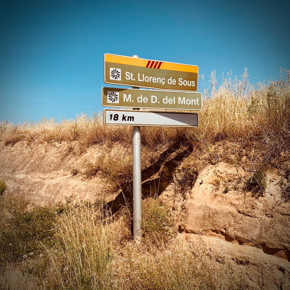
Day 4 -Mare de Deu – Mother of God it’s Mare de Deu
Mare de Deu del Mont: 18km @ 5% average with sections at 14%
A sense of trepidation accompanied the start of day four – some tired legs plus the knowledge today’s route featured the Mare de Deu (Hand of God) mountain, comprising 18km of ascent to just over 1,000m.
Still a strong 13 F3 riders headed out of Girona, a 50km flat route of quiet country roads to get us to the base of the mountain climb. The group stopped at two village square water fountains for some precautionary bidon top ups. The start of the climb was reached at exactly midday adding to the sense that what we were about to undertake would be challenging on a ‘normal’ day let alone experienced in the 35 degrees plus heat.
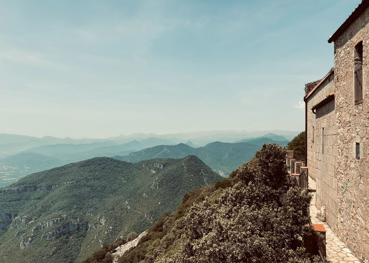
The initial 8km were a surprisingly gentle gradient of around 4-6%, on smooth tarmac with the only traffic a solitary police car and a few cyclists descending. After the initial run in, the group segmented and it was every rider for themselves to reach the monastery at the peak, marked also by a red and white communications tower seemingly far overhead. The average gradient for the second part of the route increased to 8% with some sections ramping up to a knee-knocking 14%. Despite the trees lining the road for most of the ascent, the road was very exposed to the sun and seemingly getting hotter by the minute. On the plus side, the route remained especially quiet with mostly just bird noise for company and a single random deer bounding across the road. All members of the group reached the summit to be rewarded with stunning, otherworldly views extending in all directions, including a backdrop of the Pyrenean Mountain range. Fortunately, the café and rest area, based within the ancient monastery was open to provide refreshments (and souvenirs should you wish to pretend you were on a holiday).
The descent was taken carefully given the scattering of rock fall on the road and the sharp hairpins, deviating from our ascent route at the halfway point to emerge on the road leading eventually back towards Banyoles. A few mechanicals including a snapped chain link meant that with 35km of rolling hills still to go and the heat intensifying, thoughts were turning to surviving the return to Girona. Once more, the village fountains ensured that in the absence of any shops and cafes en route, we were at least able to top up bidons. A challenging day, but worth the distance and climb for breath-taking views and also a route that isn’t overcrowded with other cyclists or vehicles. You’ll remember this day.
Girona – Mare de Deu de Mont – Girona
Distance: 130km / 80 miles
Elevation: 2,024m / 6,640 ft
Other Forge Girona recommended routes
A few of us took on these routes and we really recommend the Bascara circuit, and one day, we will return to do the volcano park.
Girona – Madremanya – Els Angels – Girona
Distance: 40km / 24 miles
Elevation: 600m / 1,880 ft
Girona – Bascara – Girona
Distance: 90km / 55 miles
Elevation: 1,150m / 3,752 ft
Girona – Banyoles – Garrotxa Volcanic Natural Park – Girona
Distance: 120km / 73 miles
Elevation: 1,200m / 4,144 ft
Final notes
Cycling in and around Girona itself is really the only tricky part. The centre of the city is essentially pedestrianised, so traffic builds around the outskirts. But once you leave the city boundary, get ready for the most excellent road surfaces, with sweeping climbs and wide vistas. The occasional cars you see, will be patient, courteous and dare we say it, happy to see you. Truly cycling nirvana.
Thank you Tim H and Irina P for meticulous route and café stop planning and to Anna B for additional words.